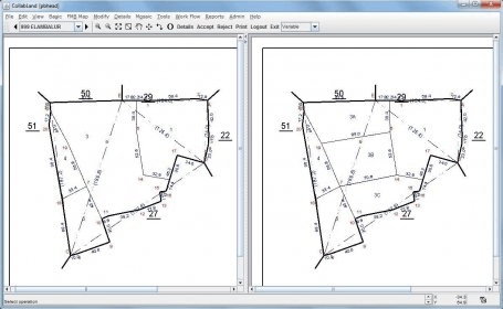
CollabLand is a software for digitization and mosaicing of survey maps. It can handle a variety of survey systems like Chain, Theodolite and Total Station (ETS). CollabLand can create maps of individual land parcels and mosaic them to village maps. Besides, it can import maps from Shape files, and can handle a host of measurement units.
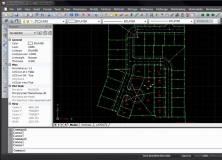
A desktop survey and design program created for surveyors, and contractors.


Comments (2)